 Skip to main contentSkip to footer
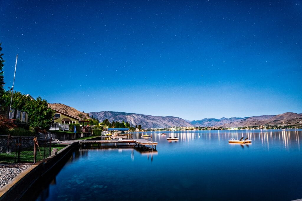
With over 422,000 acres to explore in the upper and middle lake reaches of Washington’s Lake Chelan, it can be tricky to choose a hiking destination.
Add to that fourteen trailheads that act as drop-off points for over 250 miles (402.3 km) of hiking trails, and that choice gets even more complicated. If you’re planning a hiking expedition in Lake Chelan and are spoilt for choice, this post is meant for you.
The 3 hikes in Lake Chelan, Washington you won’t want to miss include:
- Echo Ridge trails
- Devil’s Backbone trail
- Chelan River (Reach 1) trail
These hiking routes provide great viewing options and accommodate the needs of different hikers. Read on for more details on these three trails, what makes them unique, how to get around, and things to know before you visit.
Also be sure to check out our article on vacation rentals in Lake Chelan if you’re looking for a place to stay!
Table of Contents
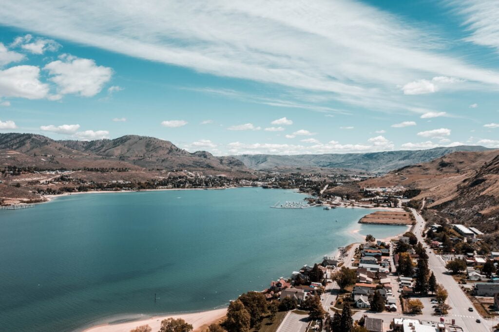
Why Is Lake Chelan So Popular??
Lake Chelan is a natural wonder with much to offer hiking enthusiasts. Hikers love the unique beauty of this landscape, from its towering peaks and vast valleys to vibrant forests and alpine meadows.
Lake Chelan hiking trails allow hikers to indulge in the best of Washington’s hiking scene as well as escape into nature for a rejuvenating hiking trip.
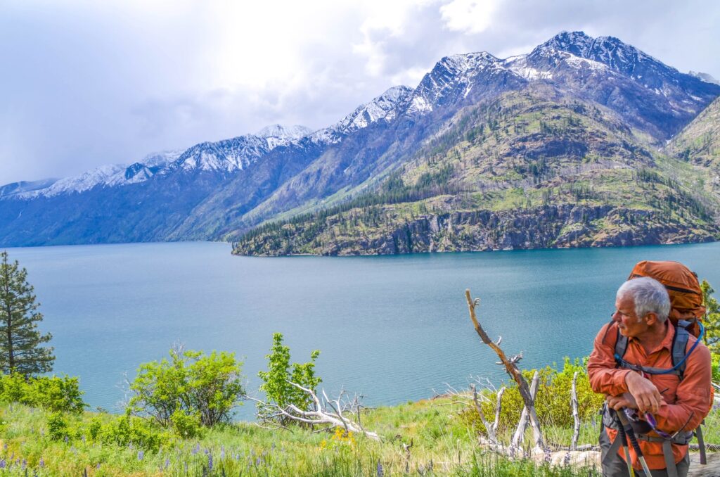
Lake Chelan is popular because it has hiking trails that range from novice to advanced hiking routes. Hikers who want a challenge can try hiking the Devil’s Backbone trail, while those hiking Lake Chelan for the first time will find Echo Ridge and Chelan River (Reach 1) hiking trails more fitting.
Lake Chelan is also popular because it doesn’t require hikers to commit to hiking for multiple days. Lake Chelan hiking trails are generally short, ranging between 1-2 hours of hiking, making it easy for hikers to squeeze in hiking trips into their busy schedules.
Let’s take a look at these hiking trails in more detail.
1. Echo Ridge Trails
The Echo Ridge Trail system is a network of over 26 miles (41.8 km) of trails and roads. Summertime activities such as mountain biking and hiking are the main attractions here, even though the trail system was initially designed for wintertime fun (snowshoeing and Nordic skiing, to be specific).
Why Echo Ridge Trails?
Echo Ridge trails are great hiking routes for first time hikers. These hiking trails are on mountain ridges that provide excellent views of the surrounding landscape. You can see Lake Chelan, an alpine lake, as well as the Icicle Valley on a clear day – it’s almost like hiking with a bird’s eye view!
The Echo Ridge Trail system has several selling points as a hiking destination:
- It’s suitable for many types of hikers. There are easy enough trails for children and older adults, as well as technical single-track options for those looking for a bit of a challenge.
- It’s well maintained. There’s nothing wrong with navigating through vegetation if you know what you’re up against from the word go because you’ll likely prepare for that. But if you expect and prepare for clear trails, it can be unpleasant to deal with overhanging vegetation. The Echo Ridge Trail system is maintained annually to keep the trails in good condition, so you don’t have to deal with any unexpected obstacles.
- There are spectacular views along the way. The echo trail system provides excellent views of the Cascades, the Columbian Plateau, Lake Chelan, and the Okanogan Highlands.
How To Get Around
The forest service has made navigation effortless for both bikers and hikers in Echo Ridge. There are two maps you can use depending on whether you’re hiking or biking:
- MAP of Echo Ridge Summer Trails 一hiking/biking
- MAP of Best Mountain Bike Trails一biking
Each of the above maps is in pdf form and is only about 200kb in size.
You can download them on your phone and keep track of your location even without an internet connection.
To do that, you need to install the Avenza PDF Maps app. If you can’t find it on your app store, head over toAvenza.com and download it from the official site.
This free app allows you to download pdf maps to a handheld device and use its built-in GPS navigation system to pinpoint your location on the trail system. You only need an internet connection for the app installation and downloading the map.
Once that’s taken care of, you can track your location offline because the information will already be saved on your device’s memory.
Setting up a navigation system with the Avenza PDF Maps app involves a few simple steps:
- Copy the URL of the PDF map.
- Open the app and click the store or + icon to add the map.
- Select the “from the web” option and paste the URL to start downloading the map.
- Locate the “maps” icon on the bottom of your display and click on it to see the map you’ve just downloaded.
- Start tracking your location. A blue dot should appear on the screen to indicate your location when you enter the area covered by the map.
Note: Since the above app also works pretty much everywhere, I won’t include a “how to get around” section for the other two trails to avoid repetition. Instead, I’ll provide a link to a PDF map of each trail, which you can then add to the app and start tracking your location.
Things To Know Before You Go
Knowing these two things before visiting the Echo Ridge trails can help inform your preparation:
- E-bikes are prohibited. That applies to bikes with pedal assist, not just those that are fully motorized. This is important to keep in mind if you’re visiting the Echo Ridge for both biking and hiking because it helps guide your bike shopping.
- Fees may apply. Daily passes cost $10 per person and are free for children younger than 17. Annual passes are also available for regular hikers. These are priced at $70 per person and are free for under-17s.
2. Devil’s Backbone Trail

The area around the Devil’s Backbone gives you several hiking options. However, the most popular (and arguably most exciting) hike starts at the Stormy Mountain Trailhead, takes you through Pot Peak and Devils Backbone trails, and culminates at the Snowberry Park.
Why This Trail?
This is a hike you don’t want to miss because it’s one of the few trails that allows you to tour the crest of the Devil’s backbone. There are some spectacular views of the mountainous terrain along the way, too, so be sure to bring your camera.
And if camping is part of your hiking experience, you’ll be pleased to learn that campsites and water are easily accessible from the trail. These can be found in two locations:
- At Handy springs, a few clicks off Shady Pass Road
- At Windy Camp, a few clicks north of the Stormy Mountain Road trailhead.
To give you a better idea of where to find these and the hiking route, visit the USDA Forest Service page.
Things To Know Before You Go
To help with preparation, here are few things to keep in mind when visiting the Devil’s Backbone:
- If you’re planning to hike the entire length of the Devil’s Backbone, you’ll need transportation, so be sure to get that figured out ahead of time.
- Motorized use is only allowed in designated forest trails, and mufflers are required to keep exhaust noise levels below 105 decibels.
- ATVs aren’t allowed on any of the trails except on private land (with the owner’s authorization, of course).
3. Chelan River (Reach 1) Trail
Rounding up our list of hikes you don’t want to miss in Lake Chelan is a three-mile trail that overlooks the Chelan River and Chelan Dam.
It starts at the Riverwalk Loop Trail and culminates on the Chelan River at a point known as Reach 1. For your curiosity, Reach 1 is the uppermost part of Chelan River that connects to Chelan Falls and Columbia River.
Here’s a map to paint a clearer picture of what I’ve just described above: RIVERWALK LOOP TRAIL & REACH 1 TRAIL
Why This Trail?
There are several reasons why you don’t want to miss this hike. Firstly, you get great views of the Chelan River and the Chelan Dam and enjoy refreshing encounters with wildlife.
Second, you get to learn a bit about the American Indian Tribes that lived in the Chelan valley years ago and the unique rock formations in the area. This way, your hike is not only refreshing but also informative.
What To Know Before You Go
In addition to generalwilderness regulations, there are two things you need to know about permits:
- Although you won’t need a wilderness permit for day hiking, you’ll need one for overnight stays (AKA camping). Click here to learn more about that.
- If you’re looking to use a boat, you’ll need a Federal Dock Site Boat Permit.


